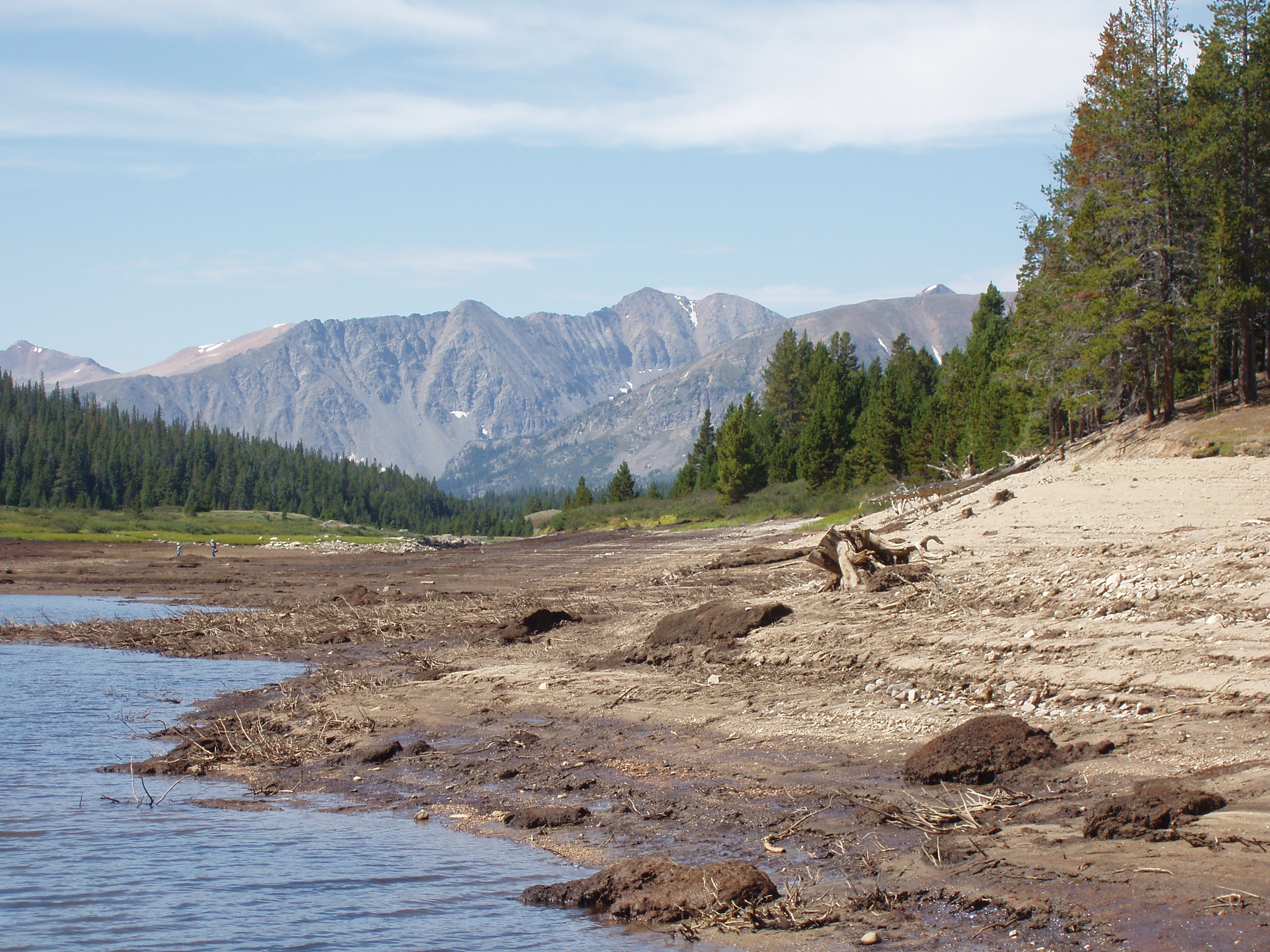
FHI assists companies in evaluating the environmental impact of climate and land use, providing a view from above and access to hard-to-reach locations. The environmental impact of land use and climate change requires broad spectrum analysis in order to effectively implement conservation efforts. FHI provides a key element in environmental management, giving analysts aerial access to waterways, right-of-ways, basins, and other remote locations. FHI works closely with the environmental analysts to get the best views and big picture scope.

- Environmental Planning
- Flood Inspection and Control
- Natural Resource Management
- Wildlife Surveys
- GPS / Terrain mapping
- Aerial Surveying
- Landscape Architecture
- Aerial Photo Acquisition
- Climate Change Assessments
- Sample Collection
- Ground water assessment
- Conservation Modeling
- Mining
- Oil and Gas
